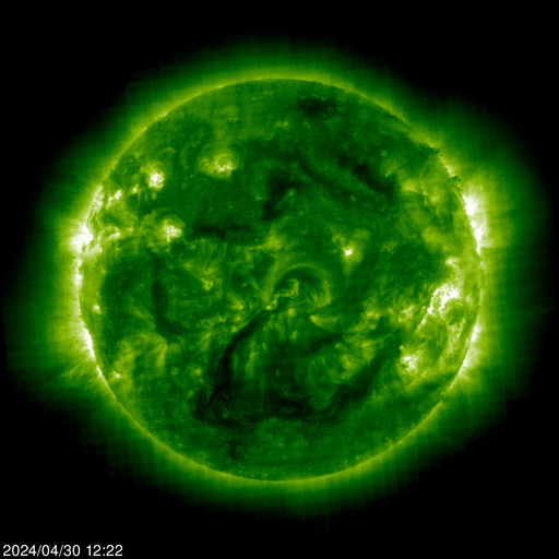
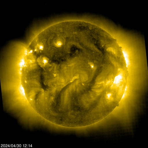
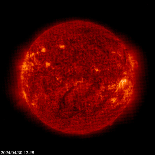
NuSTAR - Sun image


"NuSTAR will give us a unique look at the sun, from the deepest to the highest parts of its atmosphere," said David Smith, a solar physicist and member of the NuSTAR team at University of California, Santa Cruz.

Yellowstone National Park - Recent Earthquakes

Yellowstone National Park sits on top of a "supervolcano" that last erupted on a massive scale about 640,000 years ago. Scientists have estimated the chance of another super eruption happening at about 0.00014 percent yearly -- i.e. it's almost certainly not going to happen.
The University of Utah Seismograph Stations reports that a light earthquake occurred at 06:34 AM on March 30, 2014 (MDT). The epicenter of the magnitude 4.8 shock was located 4 miles north-northeast of Norris Geyser Basin in Yellowstone National Park, Wyoming. This earthquake is part of a series of earthquakes that began in this area on Thursday, March 27. As of 8:15 am today, this series has included at least 25 earthquakes in addition to the main shock, with the largest of magnitude 3.1. The magnitude 4.8 main shock was reported felt in Yellowstone National Park and in the towns of West Yellowstone and Gardiner, Montana.

Southeastern Florida Radar Loop

Radar Status Message from NWS   Radar images from NWS

The WSR-88D radar used here is located near Miami, FL (AMX on the map), and the images are generated from raw Level 2 data using only the lowest scan elevation available (typically 0.5°). Images are updated every 4-10 minutes, depending on the radar's scanning mode (VCP). See below for details.
City labels include Homestead (HST), radar site (AMX), Kendall (KEN), Coral Gables (COR), Miami (MIA), Miami Beach (MBC), Miami Shores (MSH), Hialeah (HIA), Pembroke Pines (PBP), Hollywood (HOL), Sunrise (SUN), Fort Lauderdale (FLL), and Boca Raton (BOC). Select sites are marked with a small dark red square: Miami Int'l Airport (north of COR), UMiami (south of COR), NWSFO/NHC (west of COR), and Fort Lauderdale Int'l Airport (south of FLL). Circular range rings are shown in green every 20 miles from the radar location. State, US, and interstate highways are drawn in gray; county lines in blue.

Source website

U.S. Storm Reports - Last 3 Hours

NWS Watch, Warning, Advisory Map

Convective/Tropical Weather Flooding Winter Weather Non-Precipitation
Tornado Watch
Tornado Warning*
Severe Thunderstorm Watch
Severe Thunderstorm Warning*
Hurricane Watch
Hurricane Warning
Tropical Storm Watch
Tropical Storm Warning
Flash Flood Watch
Flash Flood Warning*
Coastal/Flood Watch
Coastal/Flood Warning
Small Stream Flood Advisory
Blizzard Warning
Winter Storm Watch
Winter Storm Warning
Snow Advisory
Freezing Rain Advisory
Ice Storm Warning
Winter Weather Advisory
High Wind Warning or Advisory

Realtime - Ionospheric data,last ionogram


Dependence of the amplitude of the sensed signal from the current frequency and acting elevation. Gradations of intensity amplitude of the upper right corner of the graph. Time ionogram corresponds Tomsk City(TLDV). TLDV = UTC +7

Realtime - sun activity


Images: From left to right: EIT 171, EIT 195, EIT 284, EIT 304

Launch the interactive browser to learn more about EIT and MDI images.

EIT (Extreme ultraviolet Imaging Telescope) images the solar atmosphere at several wavelengths, and therefore, shows solar material at different temperatures. In the images taken at 304 Angstrom the bright material is at 60,000 to 80,000 degrees Kelvin. In those taken at 171 Angstrom, at 1 million degrees. 195 Angstrom images correspond to about 1.5 million Kelvin, 284 Angstrom to 2 million degrees. The hotter the temperature, the higher you look in the solar atmosphere.

Visit SOHO Explore! to learn more about the Sun.


Realtime - Schumann resonances

The Schumann Resonances Power graph summarizes the information presented in the Spectrogram Calendar and illustrates the dynamic changes occurring in the Schumann Resonances region of the magnetic field. Power is the sum of the power in all frequencies detected by the site magnetometer from 0.32 to 36 Hertz and is calculated for every hour. A 24-hour moving average of this power data is plotted for each site and updated hourly.

Each monitoring site is represented by a separate colored line and can be toggled on or off by clicking the label for each site in the legend key. The time span of data displayed can be changed with the Zoom control in the upper left of the chart window or with the horizontal slider and range display controls under the time and date labels.

Realtime - The components of the magnetic field

The graphs show the depending variations the component of the magnetic field in the gammas at local time. Local time is expressed in hours of Tomsk summer daylight saving time (TLDV). TLDV = UTC +7. The following you can see the level of geomagnetic field perturbations in K-indices.

Realtime - GEOFON Global Seismic Monitor


Global seismicity located automatically using the GEOFON network. Only stations in and around Europe are currently used to locate events. Epicenter data and a detailed location map are displayed for the last "big" event. There is also a large version suitable for display on a 1280x1024 

Compare Graph GDP growth (annual %)


Data from World Bank
8VD377DRN7NF
Annual percentage growth rate of GDP at market prices based on constant local currency. Aggregates are based on constant 2005 U.S. dollars. GDP is the sum of gross value added by all resident producers in the economy plus any product taxes and minus any subsidies not included in the value of the products. It is calculated without making deductions for depreciation of fabricated assets or for depletion and degradation of natural resources.

A Comparison of Annual U.S. Tornado Trends, 2011 vs 2012


After a busy start, tornado events in the U.S. in 2012 have dropped well below the expected norm. The preliminary total of 757 tornadoes through late September 2012 is about 400 tornadoes below what might be expected in a "normal" year. The chart above shows that at this time in 2011, the annual running total was over 400 tornadoes *above* normal; nearly opposite of this year. The chart is meant to depict the dramatic variability that can occur in tornado numbers from one year to the next.

Click for full resolution image.

Realtime Atmospheric CO2

Global warming is mainly the result of CO2 levels rising in the Earth’s atmosphere. Both atmospheric CO2 and climate change are accelerating. Climate scientists say we have years, not decades, to stabilize CO2 and other greenhouse gases. To help the world succeed, CO2Now.org makes it easy to see the most current CO2 level and what it means.

  Atmospheric CO2 data and trend